How to install the R spatial library Terra on a conda enviroment - Tutorial
/
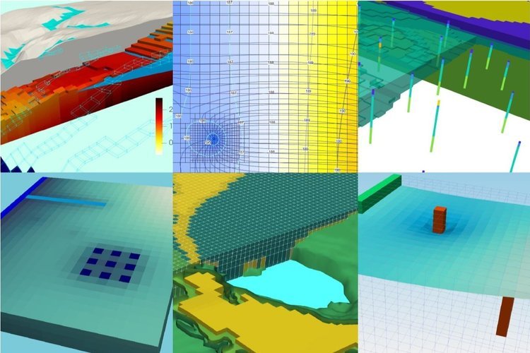
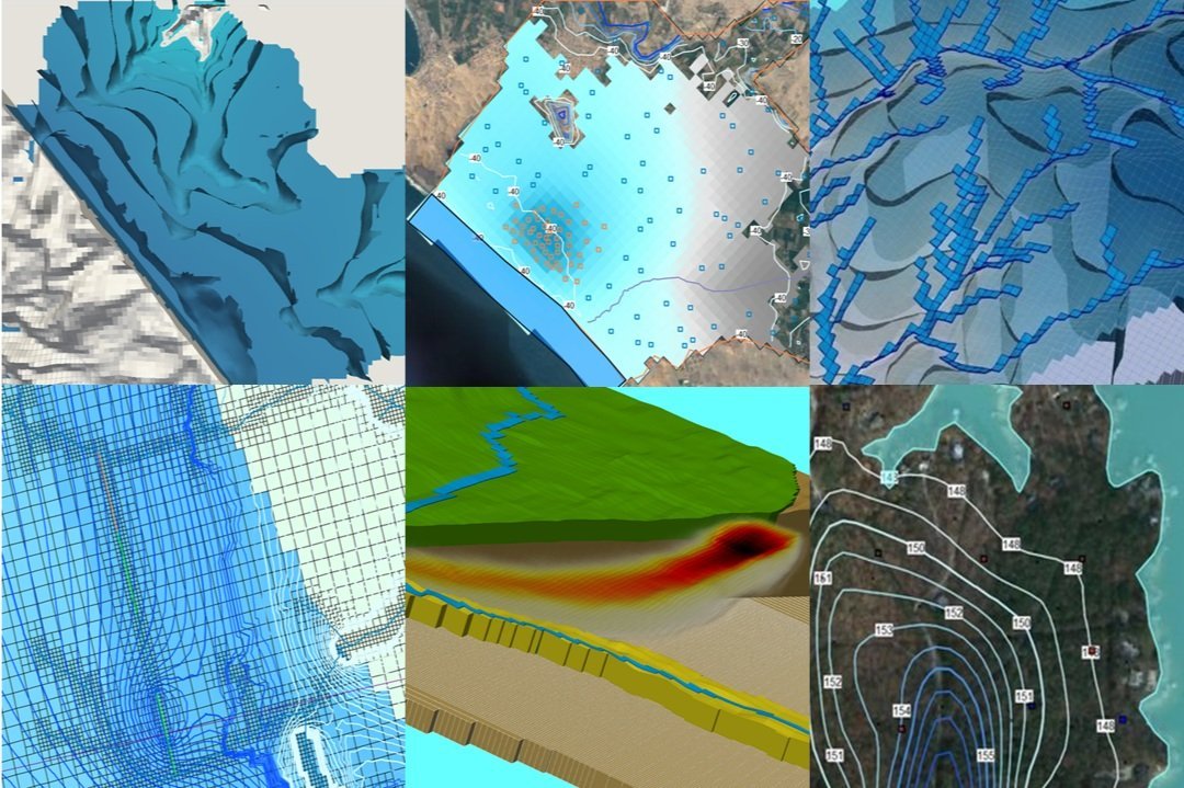
We have researched advanced tools as programming languages for spatial analysis, so far Python was our de facto choice because of its learning rate and easy to use. However, when working with a high amount of data and performing massive spatial queries some questions arise about the performance of Python and then we look at some other options as R, Julia or Rust. We have made a tutorial for the installation of the advanced spatial package Terra on a R kernel in Jupyter under a Conda environment, the tutorial covers all the installation steps in Windows together with some examples to load and plot vector and raster data.
Tutorial
Code
Commands in Anaconda Prompt:
Create the environment
conda create -n rspatial
Activate your environment
conda activate rspatial
Install the required packages
conda install -c conda-forge r-terra jupyterlab r-irkernel
If you want to deactivate the environment, please type:
deactivate
If you want to remove the environmet just type
conda env remove -n rspatial
This is the example code to load shapefiles and rasters
#Check the version of R to check the compatibily with the terra package
R.version
_
platform x86_64-w64-mingw32
arch x86_64
os mingw32
system x86_64, mingw32
status
major 4
minor 1.3
year 2022
month 03
day 10
svn rev 81868
language R
version.string R version 4.1.3 (2022-03-10)
nickname One Push-Up#install required packages for terra
#install.packages('codetools')package 'codetools' successfully unpacked and MD5 sums checked
The downloaded binary packages are in
C:\Users\saulm\AppData\Local\Temp\Rtmpuicsub\downloaded_packages#call the terra package
library("terra")terra 1.5.21Open a vector spatial data
#open the shapefile
vectorData <- vect('../In/Shp/Geology_Aoi_Reclass_10N.shp')

#get shapefile info
vectorData
Warning message:
"PROJ: proj_identify: SQLite error on SELECT key, value FROM metadata WHERE key IN ('DATABASE.LAYOUT.VERSION.MAJOR', 'DATABASE.LAYOUT.VERSION.MINOR'): no such table: metadata (GDAL error 1)"
class : SpatVector
geometry : polygons
dimensions : 2, 12 (geometries, attributes)
extent : 546956.3, 557456.2, 5294244, 5311978 (xmin, xmax, ymin, ymax)
source : Geology_Aoi_Reclass_10N.shp
coord. ref. : WGS_1984_UTM_Zone_10N
names : OBJECTID GUNIT_TXT COMMENTS PUB_SOURCE PUB_NUMBER
type : <num> <chr> <chr> <chr> <chr>
values : 1.108e+04 Qw Whidbey Format~ USGS MF 1541
1.107e+04 Qp Peat (Holocene) USGS MF 1541
QUAD_NAME FEATURE_LI AGE_LITHOL UNIQUE_ID Shape_Leng Shape_Area
<chr> <chr> <chr> <int> <num> <num>
Edmonds East USGS | MF 1541~ Pleistocene gl~ 11081 3.847e+04 3.086e+06
Edmonds East USGS | MF 1541~ Quaternary bog~ 11071 1.53e+04 7.726e+06
ModelCode
<int>
2
3#set size of plot
library(repr)
options(repr.plot.width=12, repr.plot.height=16)
#plot shapefile
plot(vectorData, 'AGE_LITHOL')
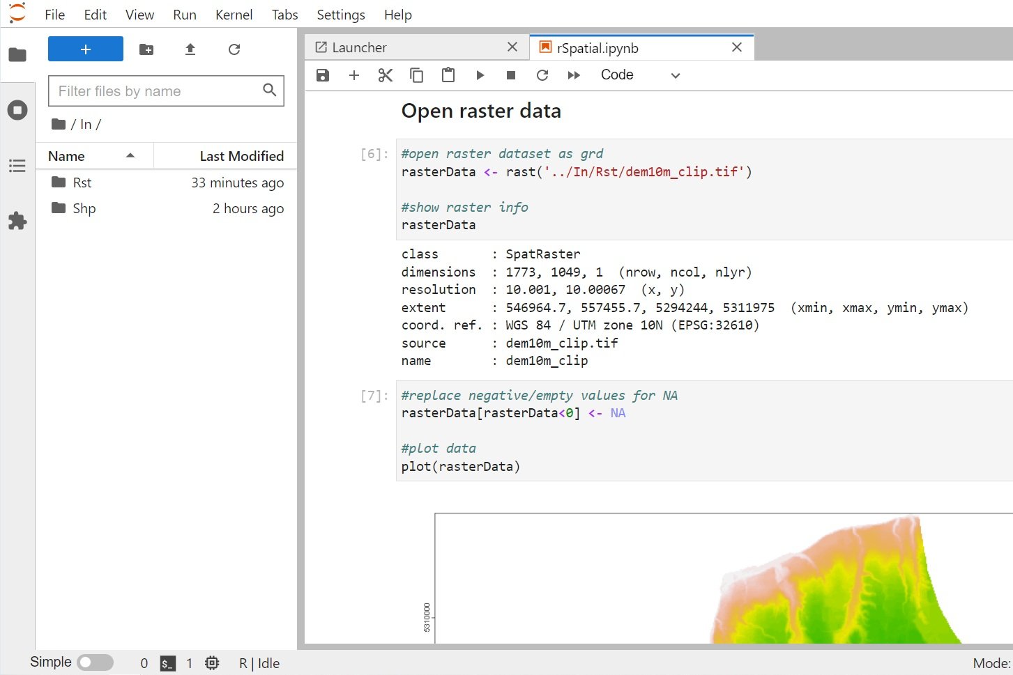
Open raster data
#open raster dataset as grd
rasterData <- rast('../In/Rst/dem10m_clip.tif')

#show raster info
rasterData
class : SpatRaster
dimensions : 1773, 1049, 1 (nrow, ncol, nlyr)
resolution : 10.001, 10.00067 (x, y)
extent : 546964.7, 557455.7, 5294244, 5311975 (xmin, xmax, ymin, ymax)
coord. ref. : WGS 84 / UTM zone 10N (EPSG:32610)
source : dem10m_clip.tif
name : dem10m_clip#replace negative/empty values for NA
rasterData[rasterData<0] <- NA
#plot data
plot(rasterData)
Input data
You can download the input files from this link.