How to make a map with QGIS - VIDEO
/Interesting tutorial that explains how to make a map with QGIS.
Read MoreInteresting tutorial that explains how to make a map with QGIS.
Read MoreThe NDVI (Normalized Difference Vegetation Index) is a versatile vegetation index to evaluate the vegetation and dynamic of the vegetation coverage change. This index has been studied and evaluated with many satellites over the years, changing its calculus method in relation to the number and type of bands of the satellite. The following tutorial shows the NDVI calculus for Landsat 8 images using QGIS.
Read MoreSentinel-2 carries an innovative wide swath high-resolution multispectral imager with 13 spectral bands for a new perspective of our land and vegetation. The mission is based on a constellation of two identical satellites in the same orbit, 180° apart for optimal coverage and data delivery. Together they cover all Earth’s land surfaces, large islands, inland and coastal waters every five days at the equator (source ESA).
This tutorial show the procedure to download especific granules from a ESA Sentinel 2 Image using the website: https://scihub.copernicus.eu/
Read MoreThe following video is a useful tutorial that shows you how to plot terrain profiles using QGIS. In this example, we used two raster files: (1) one representing the elevation of the water table and (2) another representing the elevation of the terrain.
Read MoreTutorial about how to apply styles in QGIS.
Read MoreSimple tutorial about cross seccions with the Profile Tool plugin on QGIS.
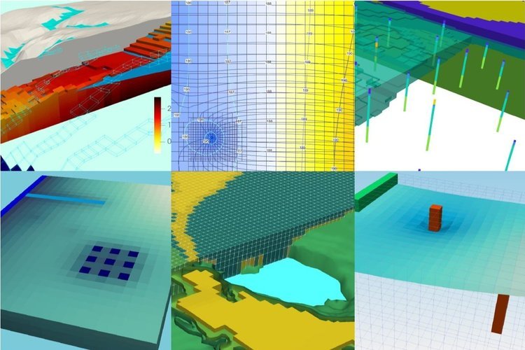
Read MoreQuick tutorial to plot concentrations, generate contours and make ilustrations.
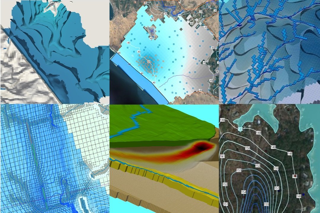
Read MoreTutorial to determine Elevation and Precipitation of Subbasins on QGIS
Read More
ONLINE COURSES:
LATEST POSTS
SEARCH