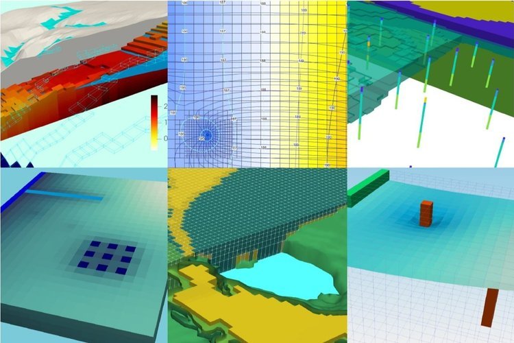
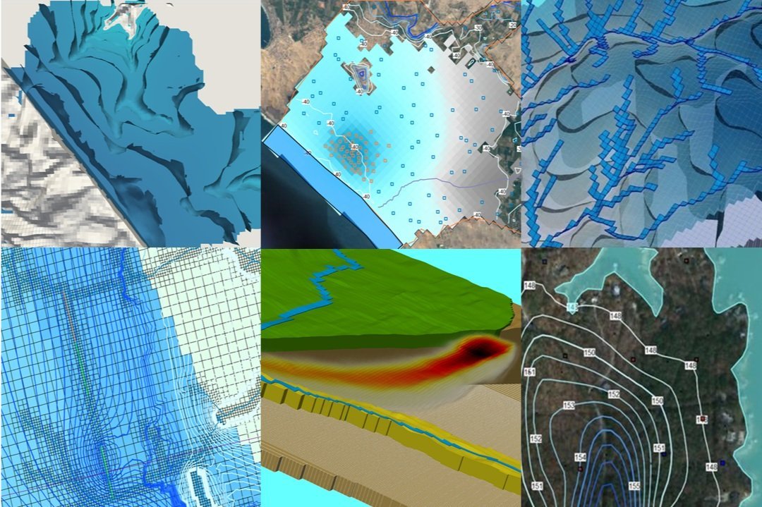
Groundwater Flow Simulation at Mine Closure Time Scale with MODFLOW and Model Muse

This tutorial deals with the simulation of the groundwater flow regimen after the implementation of mine closure options as soil/geomembrane cover above a Tailings Storage Facility (TSF) over a period of 80 years with results every 4 years. The tutorial deal with a full steady flow model which have been implemented to transient conditions on the model configuration and boundary conditions. A discussion of the seepage with time and final conditions after closure is presented to analyse the efficiency of the closure techniques.

Read More


Suscribe to our online newsletter

Subscribe for free newsletter, receive news, interesting facts and dates of our courses in water resources.


Example of Zone Budget Package in MODFLOW with Model Muse

MODFLOW is the code developed by the USGS for the simulation of groundwater flow in steady and transient flow conditions. MODFLOW can represent a wide variety of physical process related to the groundwater flow regime as recharge, evapotranspiration, wells, among others. Latest development in MODFLOW allow the simulation of flow and transport in the unsaturated flow zone with the UZF and MT3D packages. From the beginning of the MODFLOW development the water balance on the groundwater models was a strong part of the modeling process with high accuracy in between the balance of water going in and out of the system. On any groundwater flow model build on MODFLOW there absolutely control over the water coming from the specified boundary conditions and the discrepancies are minimal.

Read More


Suscribe to our online newsletter

Subscribe for free newsletter, receive news, interesting facts and dates of our courses in water resources.


Pathline Simulation of Seepage Flow from a Tailings Dam with MODFLOW & MODPATH - Tutorial

Due to their extension and climate conditions, Tailings Storage Facilities (TSF) are in interaction with groundwater flow having a dual behaviour of discharge and recharge zones. Long term evaluation of environmental impact from tailings have to consider the potential impact from the leachates into the groundwater flow regime and the impact on water quality on the downstream channels. Numerical modeling is a strong tool for the evaluation of flows and quality on the overall impact zone from tailings dam in current and future conditions.

Simulations on mine closure last for decades, and several remediation techniques as infiltration ponds, pump and test schemes, reactive walls have to be simulated on the long term. This tutorial show the procedure to simulate the particle tracking of seepage flow from tailings and estimate the potential affected stream network. The tutorial also discuss some common problems in the particle tracking simulation. 

Modeling work was done in MODFLOW with Model Muse on steady state conditions over a 5 layer model with 101260 cells. 

Read More


Suscribe to our online newsletter

Subscribe for free newsletter, receive news, interesting facts and dates of our courses in water resources.


Example of Particle Tracking Modeling with MODPATH in Model Muse

MODPATH is a particle tracking model that runs on the groundwater flow models simulated on MODFLOW. Particle tracking are three dimensional and can have a sort of options as forward / backward modeling direction in between others. Model Muse is a pre and post-processor of numerical models in MODFLOW, PHAST and SUTRA, this software can simulate some MODFLOW related models as MODPATH and MT3D (particle tracking and mass transport respectively). This tutorial show the basic procedure to set up a particle tracking model with MODPATH using Model Muse over a basic MODFLOW model.

Read More


Suscribe to our online newsletter

Subscribe for free newsletter, receive news, interesting facts and dates of our courses in water resources.


What is the relevance of confined / unconfined aquifer type on groundwater flow?

Maybe confined or unconfined aquifer are terms that would sound familiar from your first hydrogeology class, however it´s a simple definition about the location of the hydraulic head over the vertical limits of your aquifer. It might be that you have employed those terms in different reports, or maybe you have seen this aquifer classification on some environmental impact assessments or geological reports, but which is the relevance of this classification on the groundwater flow? This article talks about the comparison of the the confined / unconfined aquifer condition based on numerical modeling with some discussion about the convertible character of the aquifer.

Read More


Suscribe to our online newsletter

Subscribe for free newsletter, receive news, interesting facts and dates of our courses in water resources.


Introduction to PyQGIS, the Python environment in QGIS

QGIS is a great software for the processing/analysis of spatial data, Python is a clear, powerful programming lenguaje; together they can enhance the spatial analysis to solve more complex or more dedicated problems in less time. PyQGIS is the Python environment inside QGIS with a set of QGIS libraries plus the Python tools with the potential of running other powerful libraries as Pandas, Numpy or Scikit-learn. This tutorial shows the main parts of the Python environment and has some practical cases of vector data layers.

Read More


Suscribe to our online newsletter

Subscribe for free newsletter, receive news, interesting facts and dates of our courses in water resources.


Tutorial: Georeferencing Historic/Ancient Maps with QGIS

Working with spatial data on many environments requires an historic perspective of the land use, urban development and other changes on earth surface. Some times (or most times) the only data available is on printed form with or without a system of reference that makes this data of limited use for a spatial analysis. Afortunately, QGIS can handle the georeferenciation of ancient maps on a smooth and quick way based on the functionality of its tools.

Anyone can overlay an historic map on the map canvas on few steps. This tutorial shows the whole procedure to georeference a map of Lima city from 1856 in QGIS.

Read More


Suscribe to our online newsletter

Subscribe for free newsletter, receive news, interesting facts and dates of our courses in water resources.


Tutorial: Wave Barrier Design with OpenFOAM and Salome

Coastal structures are subject to tidal and wave related boundary conditions. The design of a wave barrier have to assess the water levels on the inner bay from the impact of a wave and the maximum wave height on the outside part of the structure. This evaluation can be done by the use of dynamic simulations that take into account sea floor geometry, wave barrier height, position and interaction from the water channel and so on. OpenFOAM is an open source software for the simulation of flow in steady and transient states; the software allows us the simulation of the wave interaction with the coastal structure. The tutorial deals with the main parts of mesh construction in Salome and model set up and simulation in OpenFOAM.

Read More


Suscribe to our online newsletter

Subscribe for free newsletter, receive news, interesting facts and dates of our courses in water resources.


Tutorial: Determination of Glaciers and Lakes from Sentinel 2 Images with QGIS and SCP Plugin

Any object on the earth has a "signature" on a different bands or ranges on the visible and invisible spectrum. Base on the values and trends on this "spectral signature" one can classify different types of land cover as lakes, soils, wetlands, exposed rock and glaciers from many free and available multispectral satellite images as Sentinel 2, Aster, MODIS, and Landsat. QGIS is a very powerful open geographical information system software and its plugin Semiautomatic Classification Plugin gives QGIS many capabilities for the download, preprocess, classification and analysis of satellite imagery without using another desktop software. This tutorial deals with the whole procedure for the supervised classification of lakes and glaciers on a clipped Sentinel 2 image and its vectorization as polygons.

Read More


Suscribe to our online newsletter

Subscribe for free newsletter, receive news, interesting facts and dates of our courses in water resources.


Tutorial: Example Problem of MODFLOW with Model Muse

This example problem is adapted from the MODFLOW documentation and use to demostrate the use of MODFLOW with Model Muse. The model is implemented without parameters and uses the LPF Package. The model decribes a regional aquifer setup with acuifers and aquitards with the interaction of many boundary conditions as recharge, evapotranspiration, constant head and wells. Groundwater flow simulation was done on steady state conditions.

Read More


Suscribe to our online newsletter

Subscribe for free newsletter, receive news, interesting facts and dates of our courses in water resources.


Tutorial: Direct Landsat Imagery Dowload in QGIS with SCP Plugin

Based on the review from our followers, we have noticed that the download procedure to download images from the NASA and USGS web servers had changed. It is not clear the current method to download the selected files, even if you have your username and password set up correctly. Luckly there is an alternative way to download those files with QGIS and the Semiautomatic Classification Plugin (SCP). This tutorial covers the whole procedure to sign up, select, previsualize and download a Landsat 8 in QGIS with the SCP Plugin.

Read More


Suscribe to our online newsletter

Subscribe for free newsletter, receive news, interesting facts and dates of our courses in water resources.


Tutorial: Intake Channel Design with OpenFOAM and Salome

The design of hydraulic structures need the comprehension of water and structure interaction in terms of level, speed, sediment transport, among others. It is important for the hydraulic structure design to take into account the extreme events of flow, pressure and speed, therefore the computational fluid dynamics (CFD) modeling becomes essential in the design stage. OpenFOAM is an open source software for the simulation of flow in steady and transient states; this software allows us the simulation of the hydraulic response from an specific requirement in laminar and turbulent flow conditions, flow velocity calculation, and determination of static and dynamic pressures.

Read More


Suscribe to our online newsletter

Subscribe for free newsletter, receive news, interesting facts and dates of our courses in water resources.


Tutorial: Water Surplus Evaluation at Basin Scale with QGIS and Remote Sensing Data

The current availability of strong open source GIS software together with remote sensing data and specific data products as high resolution precipitation and evapotranspiration makes possible the assessment at global scale on short processing time of certain parts of the water cycle. Water surplus is the difference in between precipitation and actual evapotranspiration, that can be translated to the difference in between IMERG imagery (precipitation) and MOD16 imagery (actual evapotranspiration). This raster algebra calculation could be implemented in open source software as QGIS with a set of specific procedures as reprojections, temporary files and raster calculators. This tutorial deal with the water surplus calculation for a andean basin for year 2015.

Read More


Suscribe to our online newsletter

Subscribe for free newsletter, receive news, interesting facts and dates of our courses in water resources.


Tutorial: Area of Study AsterDEM Download and Basin - Stream Delineation in QGIS

QGIS is a open source software for spatial analysis and data representation. There are many tools from QGIS for the hydrological/hydrogeological evaluation and modeling. This time we have made a tutorial with the whole procedure of the download process for a AsterDEM only on the extension of an area of study. The DEM was later reprojected on QGIS and processed to get the channel network and drainage basins. The tutorial has the purpose to show how simple is the process of working with QGIS and Processing.

Read More


Suscribe to our online newsletter

Subscribe for free newsletter, receive news, interesting facts and dates of our courses in water resources.


Multiple Well Configuration in MODFLOW with Model Muse Tutorial

Modflow with Model Muse are a powerful set of softwares developed by the USGS for groundwater modeling. Model Muse is very handy when working with GIS files but sometimes there are some specific requirements about the hydrogeologic features to conceptualize. This time we have prepared a tutorial about the multiple well configuration on a regional groundwater model. The tutorial deals with the model construction and configuration of 182 pumping wells on a 84km x 54km area in the north of Mexico.

Read More


Suscribe to our online newsletter

Subscribe for free newsletter, receive news, interesting facts and dates of our courses in water resources.


How to insert a Geological Fracture on a Hydrogeological Model with MODFLOW and Model Muse

Model Muse is a software for the pre and post data processing of hydrogeological 3D model in MODFLOW. Both Model Muse and MODFLOW are developed by the USGS (usgs.gov). Model Muse is designed to work with objects and datasets, a powerful model construction methodology that allows the quick setup of boundary conditions, a simple way of progressive refinement and interesting features as inserting geological fractures on the numerical model.

This tutorial show the whole procedure for the conceptualization of several fractures based on some known fracture information as a point on the fractures, the azimuth and elevation. The tutorial deals with the theorethical determination of the fracture plane equation, the construction of a dataset with the desired equation plus the implementation of object that represents the fracture with the relevant hydrogeological features.

Read More


Suscribe to our online newsletter

Subscribe for free newsletter, receive news, interesting facts and dates of our courses in water resources.


Tutorial Infiltration Gallery for Water Supply Modeling with MODFLOW and Model Muse

Tutorial for the simulation of filtration galleries close to a river. Modeling done with MODFLOW, Model Muse and QGIS.

Read More


Suscribe to our online newsletter

Subscribe for free newsletter, receive news, interesting facts and dates of our courses in water resources.


Tutorial of a Cross Seccion of Water Quality with MODFLOW, MT3DMS y QGIS

Groundwater flow modeling depends on GIS data, and its output is compatible with a sort of GIS tools. In order to do analysis or representation from contaminant transport modeling it is needed a sort of commands, formats, tools and plugins from a stack of programs as ModelMuse and QGIS.

This tutorial is not only a example of water quality representation, it is as well a discussión on the main parts of modeling construction and simulation.

Read More


Suscribe to our online newsletter

Subscribe for free newsletter, receive news, interesting facts and dates of our courses in water resources.


How to insert a Geological Contact in MODFLOW with MODEL MUSE

Model Muse and QGIS makes possible to deal with geological data for the groundwater flow model cocntstruction. A diverse group of tools are required to process and insert geological features as contacts or faults. This tutorial show the whole procedure from the ground up to build the model geometry and insert a geological contact as the interfase within two layers.

Read More


Suscribe to our online newsletter

Subscribe for free newsletter, receive news, interesting facts and dates of our courses in water resources.


Tutorial to Georeference Google Searches with Python and QGIS

To carry out a series of studies and investigations we have to know both name and location of certain places. This may be available through some web pages, however the use of data is limited and advance geoprocessing tools on softwares as QGIS can not be used. There are several services or APIs that can bring you the spatial location of Google searches. In this tutorial we will use the Google Maps API for the location of Hospitals in a radius of 5 kilometers from a point in Miraflores, Lima. Only open source software tools have been used for this tutorial.

Read More


Suscribe to our online newsletter

Subscribe for free newsletter, receive news, interesting facts and dates of our courses in water resources.