
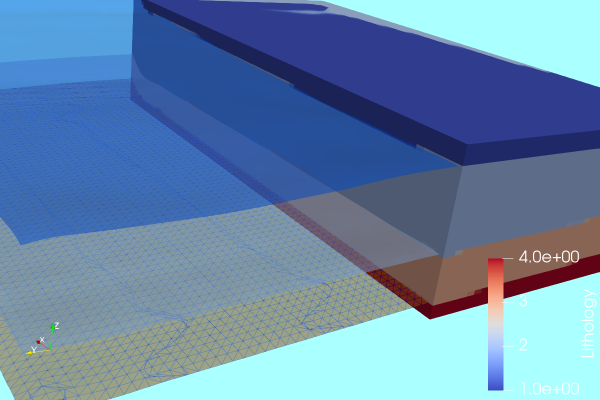
The distribution of geological units over different depths on an area of interest is often needed as an input for other numerical models. Sources of data for geological modeling are usually bore logs but these can be also interpreted geological unit bottom elevations as geospatial rasters. Based on a coupled workflow on QGIS and Python it is possible to extract the required information for a Gempy model and run it for defined voxel sizes. This webinar covers the whole procedure of spatial data preparation, data preprocessing in defined formats and geological modeling with Python and Gempy.
Intructor
Saul Montoya M.Sc
Hydrogeologist - Numerical Modeler
Mr. Montoya is a Civil Engineer graduated from the Catholic University in Lima with postgraduate studies in Management and Engineering of Water Resources (WAREM Program) from Stuttgart University – Germany with mention in Groundwater Engineering and Hydroinformatics. Mr Montoya has a strong analytical capacity for the interpretation, conceptualization and modeling of the surface and underground water cycle and their interaction. He is in charge of numerical modeling for contaminant transport and remediation systems of contaminated sites. Inside his hydrological and hydrogeological investigations Mr. Montoya has developed an holistic comprehension of the water cycle, understanding and quantifying the main hydrological dynamic process of precipitation, runoff, evaporation and recharge to the groundwater system.
Event date
Wednesday, Aug 2 2023 6:00 p.m. Amsterdam Time


