

Spatial data processing for groundwater modeling in Model Muse - Tutorial
/
Groundwater model creation requires a complete set of spatial data for the different hydraulic parameters, boundary conditions and other model items. Vector and raster data need to be preprocessed, converted, reprojected to fit the requirements of Model Muse.
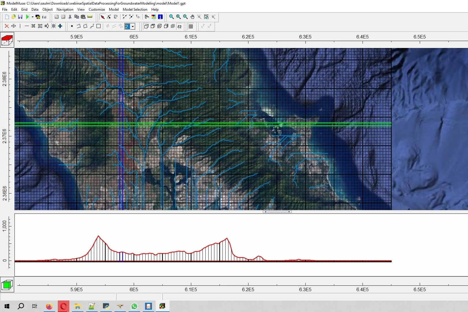
This tutorial covers an applied case of raster and vector data processing for a groundwater model over the Oahu island (Hawaii, USA). The tutorial covers the steps to download the data, extract the river network and import the spatial data into Model Muse.
Tutorial
Input Data
You can download the input data from this link.


