

Tutorial to delineate urban channel networks and drainage basins from Lidar data with QGIS3
/
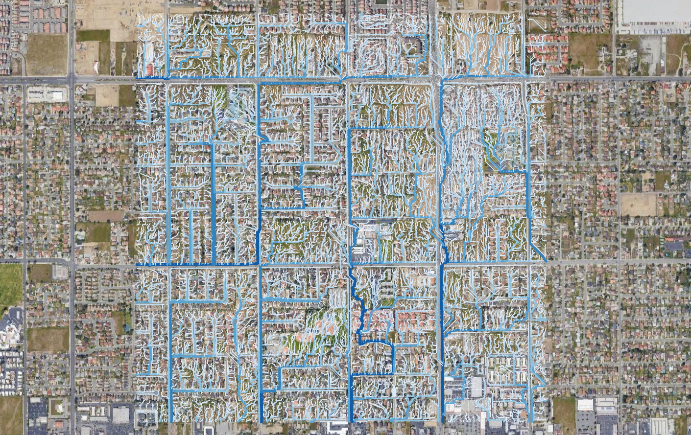
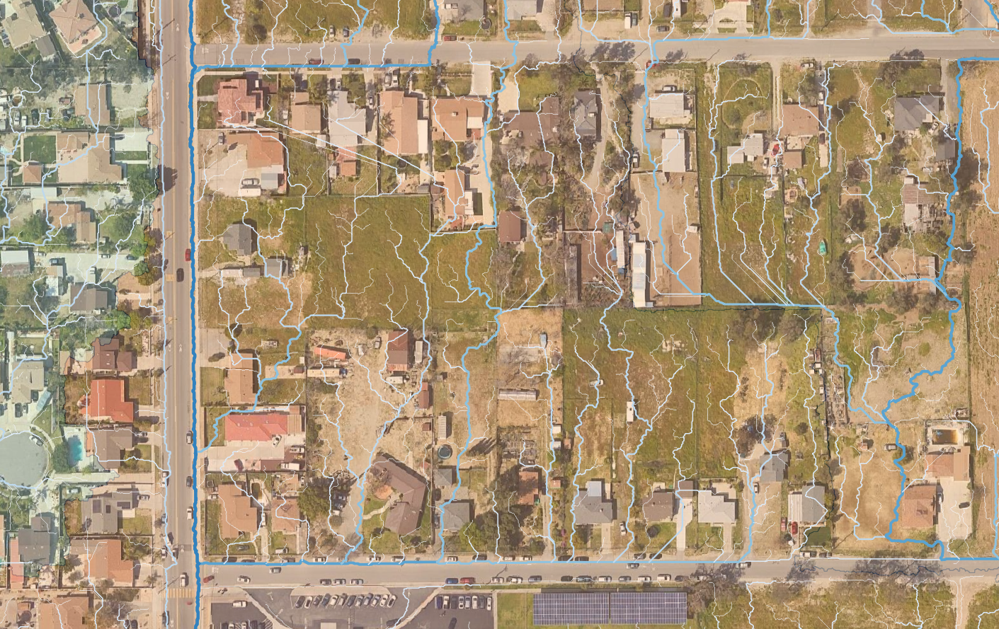
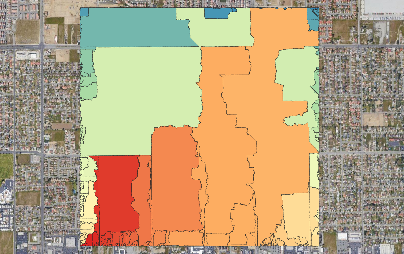
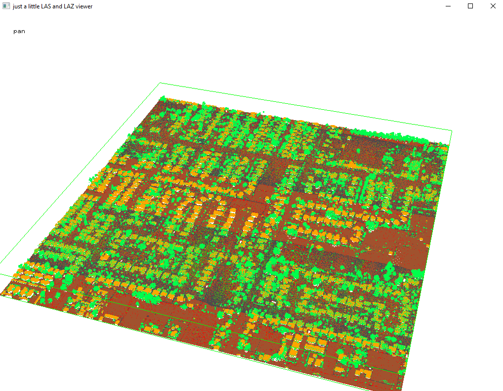
Hydrological process of precipitation - runoff can happen in small areas however the common tools to evaluate the drainage networks are mostly related to the regional scale. Lidar devices provide millions of 3D points with resolution capable of defining drainage basins on much larger scales and delineate channel networks of neighborhoods or city districts.
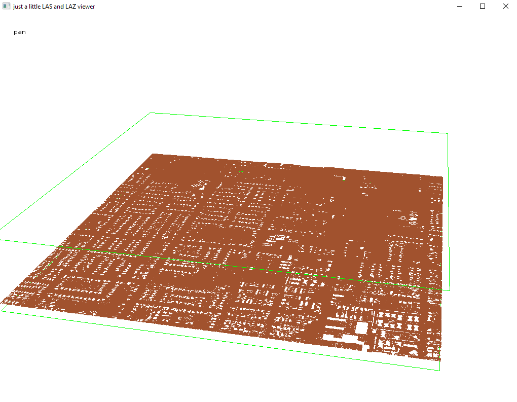
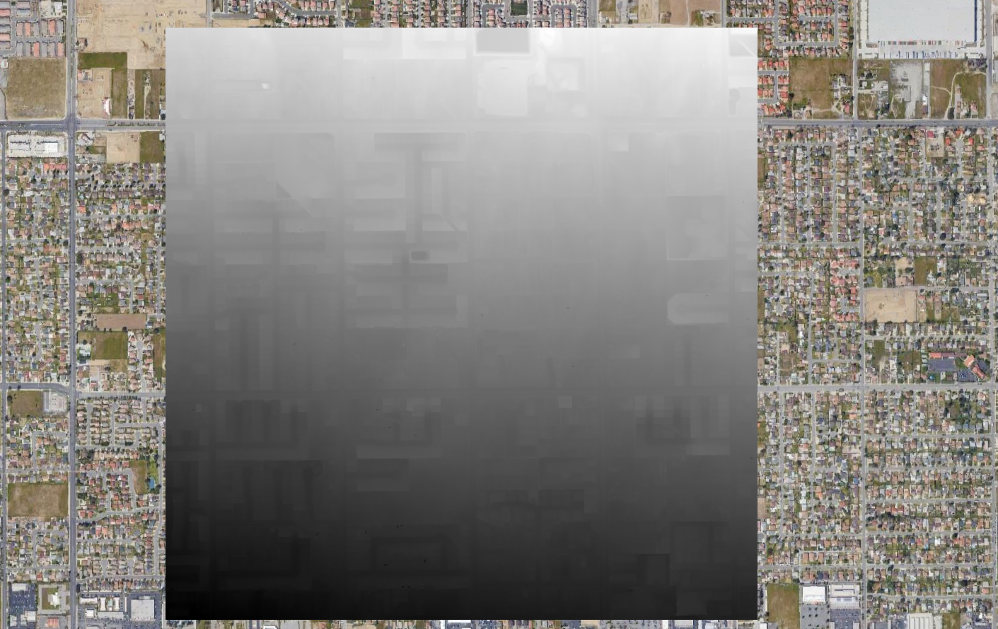
We have done a tutorial for the channel network and drainage basins delineation over an urban area in Los Angeles, USA. The tutorial shows the whole procedure from downloading the Lidar data, processing the Las files and processing the rasters with QGIS.
Screenshots
Tutorial
Input data
You can download the input data from this link.


